Already have scan data?
Send us your available point-cloud files. We review data quality and coverage, then convert them into engineering drawings and models based on your project requirements.
Supported formats: E57 · LAS · LAZ · RCP · RCS
We convert point clouds into organized plans, elevations and sections that your office can use as a base for design and coordination.
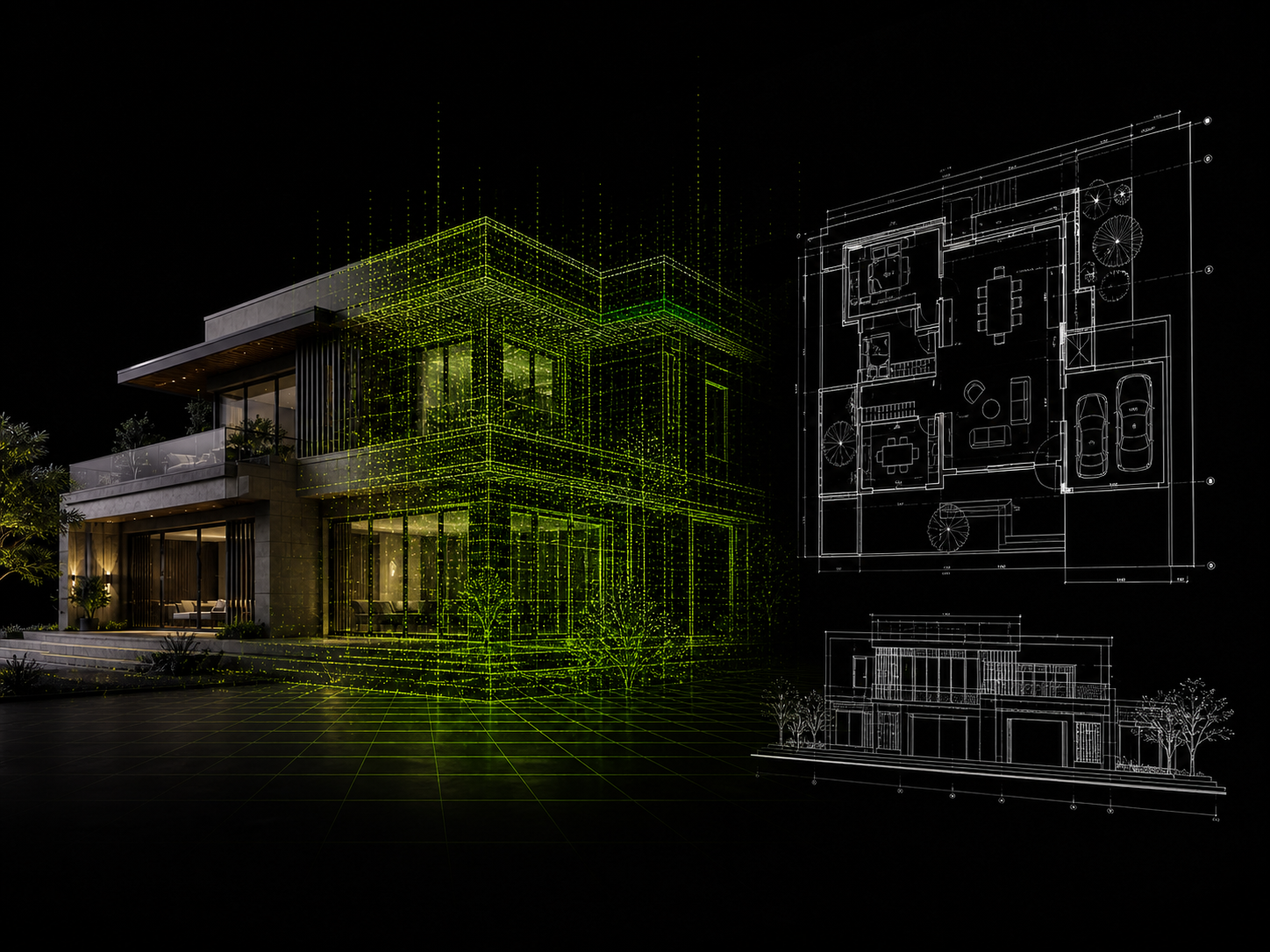
Point cloud, required floors, elevation views and section lines, units and your office’s layer template where available.
DWG · PDF · Plans · Elevations · Sections
DeliverablesWe define visible elements, drawing scale and layers around your project requirements. Hidden wall contents and unobserved elements are not inferred as verified conditions.
We turn your site data into organized drawings and models, working with your project team to meet design, coordination and handover requirements.
Send us your available point-cloud files. We review data quality and coverage, then convert them into engineering drawings and models based on your project requirements.
Supported formats: E57 · LAS · LAZ · RCP · RCS
We coordinate the capture of the existing conditions based on the site size and required deliverables, then process the data into the engineering drawings and models your team needs.