Already have scan data?
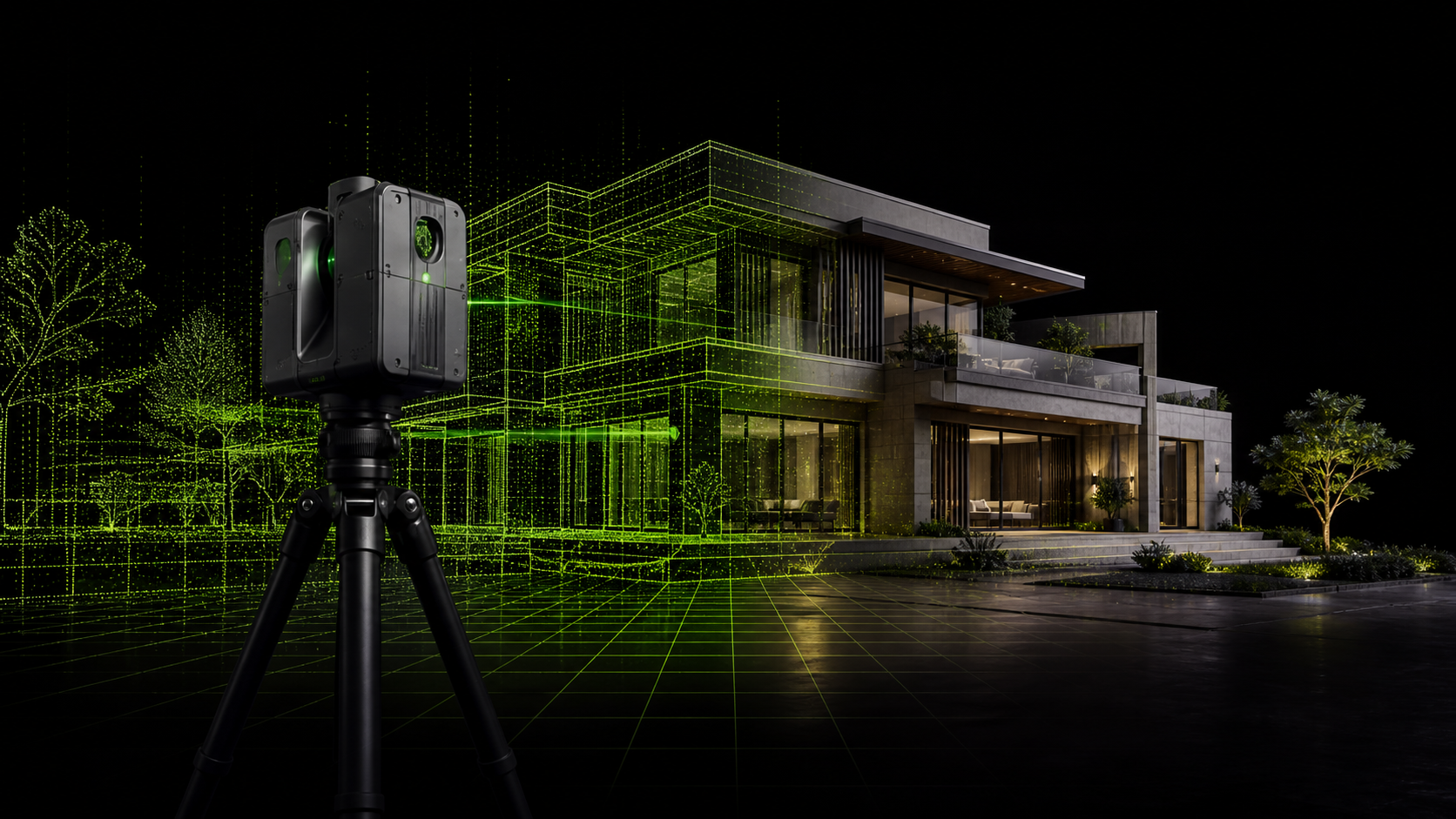
Send us your available point-cloud files. We review data quality and coverage, then convert them into engineering drawings and models based on your project requirements.
Supported formats: E57 · LAS · LAZ · RCP · RCS
Prepare capture data for drafting and modeling: coverage review, noise cleanup, segmentation and organized handover files.
Source files and linked references, registration and coordinate information where available, required regions and export format.
E57 / RCP / RCS or a suitable project format where applicable · Data-quality notes
DeliverablesRegistration or re-registration depends on sufficient source data. Processing cannot recover uncaptured areas or promise accuracy beyond the source.
We turn your site data into organized drawings and models, working with your project team to meet design, coordination and handover requirements.
Send us your available point-cloud files. We review data quality and coverage, then convert them into engineering drawings and models based on your project requirements.
Supported formats: E57 · LAS · LAZ · RCP · RCS
We coordinate the capture of the existing conditions based on the site size and required deliverables, then process the data into the engineering drawings and models your team needs.